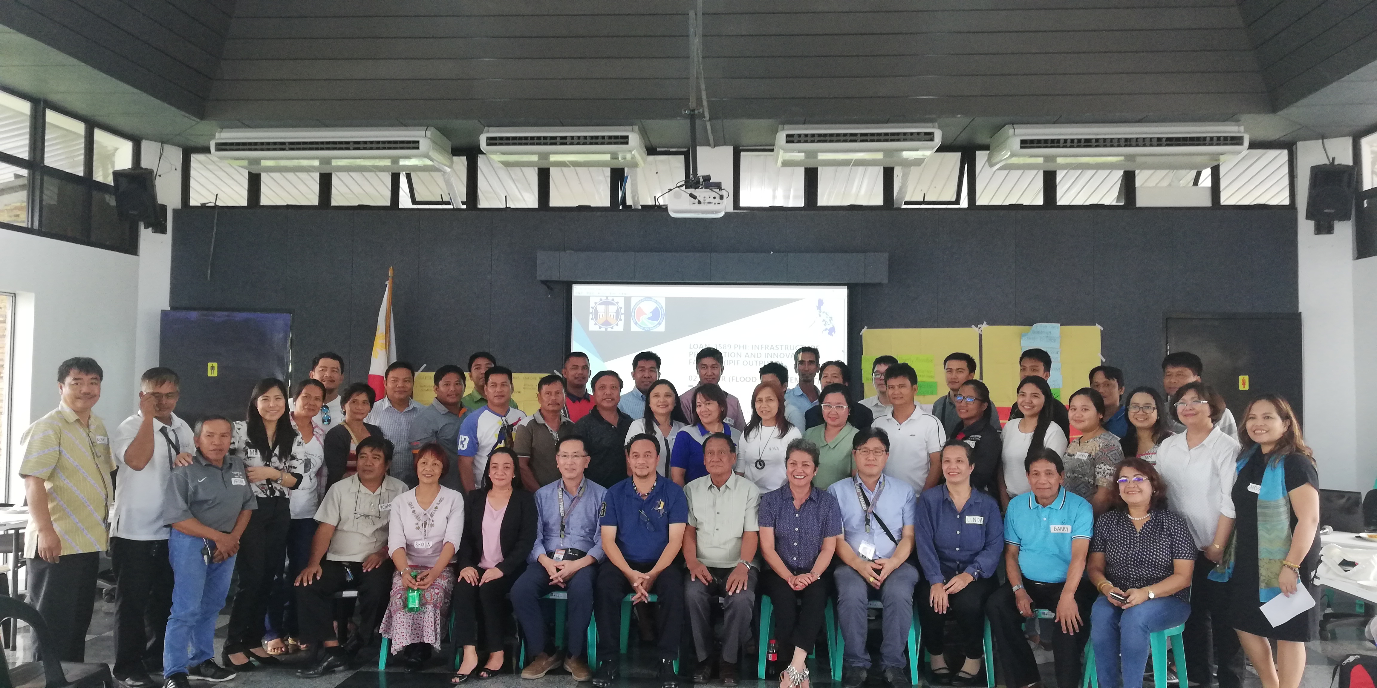
The Center for Development Programs in the Cordillera (CDPC) was invited by the Department of Public Works and Highways (DPWH) to participate in a multi-stakeholder consultation workshop as part of a process of preparation for the Flood Risk Management Master Plan (FRMMP) and Feasibility Study for the Apayao-Abulug River Basin under the Asian Development Bank (ADB) Infrastructure Preparation and Innovation Facility (IPIF). The IPIF is a loan granted by ADB to support the DPWH in “accelerating the delivery of high quality public infrastructure projects for the purpose of flood control and water resources management by reducing the incidents of flood events and increasing preparedness in affected communities in 6 river basins in the Philippines namely: Apayao-Abulog and Abra in Northern Luzon, Jalaur in Panay, Agus in Northern Mindanao, Buayan-Malungon and Tagum Libuganon in Southern Mindanao.” The IPIF commenced in 2017 and expected to be completed next year, 2020 with a comprehensive master plan.
The workshop was held on July 30, 2019 at the Apayao Eco-Tourism Sports Complex in Luna.
The consultation was intended to identify stakeholders within the river basins, their issues and interests. The workshop result will feed into the crafting of a master plan on the proposed flood control along the Abulog river. The master plan will include studies and surveys; flood risk mapping and alert system; flood control project financing supporting documents, structural and non-structural measures, social and environmental safeguard; feasibility studies for proposed projects, and preliminary design studies.
In this regard, the multi-stakeholder consultation intended to ensure that stakeholders can participate and raise their support and/or concerns which is essential in the development of the master plan. It is an avenue for the project consultants to generate information as to the project potential benefits and impacts both positive and negative on the environment and populace, impacts on the various stakeholder groups, including information on stakeholders’ perceived gender-differentiated project benefits and impact.
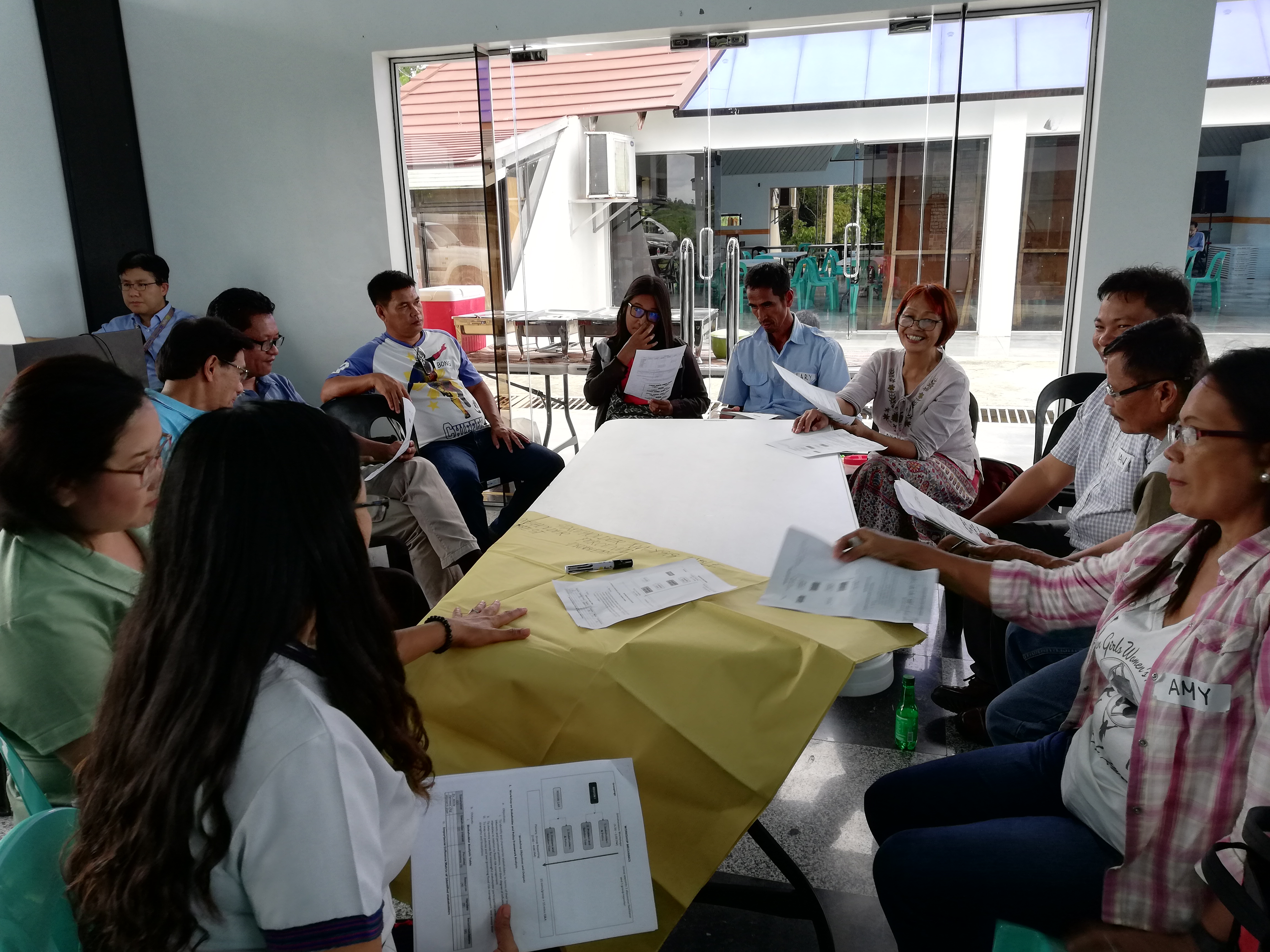
The workshop conducted has two components, the mapping of stakeholders including a policy framework analysis and identification of problems and solutions. The first component aims to identify and characterize stakeholders along the Apayao-Abulug river in terms of their institutional interests and perceived problems, and their degree of influence, resources, and mandates in relation to flood risk management. Herein, CDPC identified the Cordillera Exploration Co.,Inc. (CExCI), a mining company, and Guined hydropower projects as critical stakeholders that should be taken into consideration in the master plan for the flood control project. Participants also took note of the important role of civil society organizations or non government organizations in the entire process of developing the master plan, its finalization, its implementation up to monitoring the benefits that farmers will achieve.
In addition, CDPC supported the concern of representatives from the Local Government Units (LGU) of Apayao as well farmers on issues of equity in relation to protection, development and utilization of natural resources, equity with respect to benefits and services to farmers upstream or the source of water for the Abulog river, in particular the people of Calanasan. What benefits will the upland communities receive from their role as stewards of the source of water.
Following the multi-stakeholders’ dialogue will be, barangay consultations and social assessment, household surveys and further feasibility studies will be conducted. Another multi-stakeholder consultation will soon be held for the presentation of the drafted master plan. The next process after the master plan when the project proposal is finalized will be securing the free, prior and informed consent of affected indigenous peoples.
In the initial study presented in the consultation, the Apayao-Abulog is among the 4 major river basins in the Cordillera and among 18 in the country. It is the 9th largest in terms of watershed size. It covers an area of 3,372km and length of 178 kilometers, 85% lies in Apayao covering 105 barangays in 7 municipalities and 15% in Cagayan covering 34 barangyas in 4 municipalities.